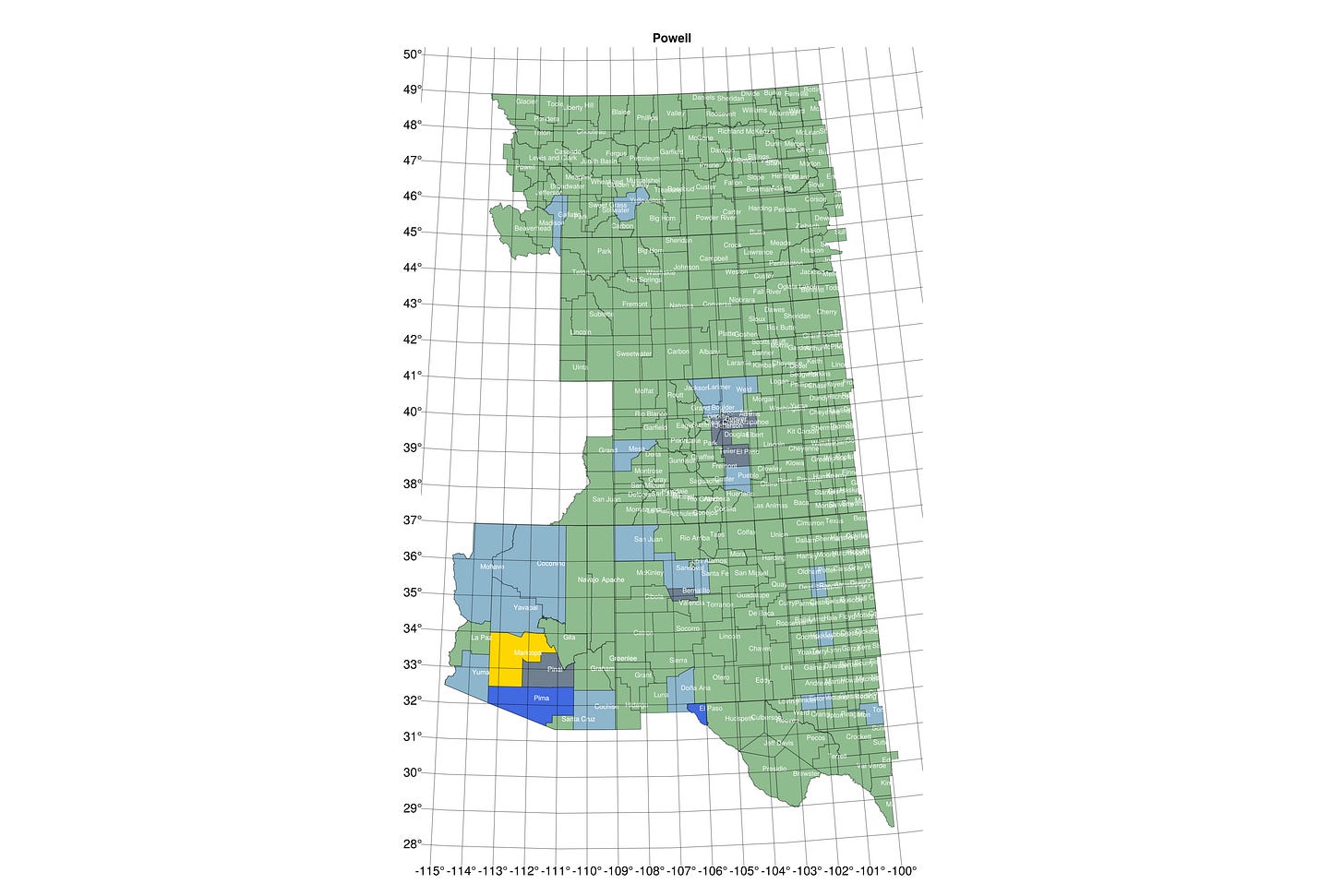
Geekery Sunday: Working with county-level maps
Like when you want to track this week's disappearances
GeoIDs.jl provides a comprehensive solution for working with Census GEOID identifiers, particularly at the county level. The package enables you to:
Create and Manage Geographic Area Sets: Define sets of counties for analysis
Track Changes Over Time: Full version history for every geographic definition
Apply Set Operations: Union, intersection, difference, and symmetric difference
Filter Spatially: Select counties by latitude, longitude, distance, or bounding box
Back Up and Restore: Export and import full version history
Access Census Data: Integrate with TIGER/Line shapefiles managed locally
The functionality helps deal with arranging and re-arranging sets of county GeoIDs rather than proliferating links in scripts. Sets can be created programmatically (such as all Florida counties south of latitude 29º degrees north). The repo includes the cb_us_counties_2023_500k so shapefiles are available locally. A thorough setup guide to installing PostgreSQL and PostGIS is included and scripts take care of initialization of tables. This is intended for the single-user case and assumes only basic familiarity with command line utilities.
This came out of my continuing project to re-engineer the United States into a collection of viable, politically cohesive nation-states. I’d been working at the state level and wanted to take it to a more granular level of detail at the county level. Trying out various collections of counties became unwieldy with a lot of going back to earlier versions or recreating them if I couldn’t find them.
If you know someone working in this area, please send them along.


Interesting. I did at one point have some interest in using shape data to draw maps, but it never went anywhere. Didn't have an interesting use case driving me to lean into it. 🤷🏼♂️